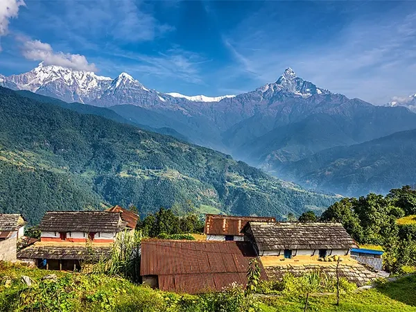

The town of Manang is located in Nepal's Manang District. Its coordinates are 28°40'0N 84°1'0E, and it is 3,519 meters above sea level (11,545 ft). Manang is located in a large valley bounded to the east by the Marshyangdi River, to the west by the Thorong La Pass, and to the north by the Chulu East Peak. The majority of Annapurna valley hikers will spend an acclimatization day in the Manang valley. Famous trekking routes, mountains, secret caverns, spiritual gumbas, and colorful cultures may all be found in abundance in the Manang valley.
Manang village is one of Nepal's undiscovered treasures. The high mountains surrounding Mustang prevent rainy clouds from entering Manang's land, which is why there is little rain in this area. This is Nepal's desert, also referred to as the country's arid area. Because of the extraordinary natural resources, artifacts, herbs, and diamonds, as well as the culture and traditions, Manang is wealthier. The Manang region is home to numerous monasteries. This location reflects the traditions and dedication of early Tibetan Buddhism.
Annapurna circuit trek
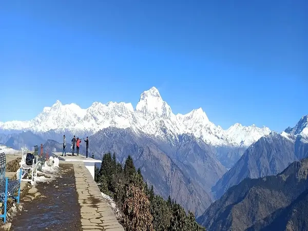
The Annapurna Circuit Trek is a trek through central Nepal's mountain ranges. The trip is between 160 and 230 kilometers long overall. Depending on the locations of motorized transportation and the finish location of the walk. You may get a close-up view of the Annapurna Massif (Annapurna I–IV), Dhaulagiri, Machhapuchhre, Manaslu, Gangapurna, Tilicho Peak, Pisang Peak, and Paungda Danda, among other mountains.
The highest point of this trek is the Thorong La Pass, which is located at a height of 5,416 meters. This pass is between Manang and Mustang. This hike was among the most well-liked in Nepal when it first began in 1977. The distance covered by this hike ranges from 160 to 230 kilometers, depending on how you utilize hydration and where you end your journey. You will see Mt. Annapurna, Dhaulagiri, Manaslu, Machapuchhre, Gangapurna, and Tilicho Peak while trekking the Annapurna Circuit.
Praken gompa
One of Nepal's most breathtaking locations is Praken Gompa. This Buddhist stupa is accessible on foot and is situated at an elevation of 11466 feet. Although the ascent to this gompa may be thrilling, the vistas it offers will make the effort worthwhile. You may take in the expansive vistas of the towering Himalayan peaks, such as Gangapurna, Tarke Kang, and Annapurna II.
Praken Gompa is a remote religious structure that is 3945 meters above Manang and concealed from view in a mountain wall. For a little gift, Lama, a Buddhist monk who attained enlightenment and resides in Praken Gompa, will provide you protection while you cross Thorong La.
Gangapurna lake
As sediments and other particles move alarmingly quickly through the lake's inflowing waters, Gangapurna, a glacier lake on the Annapurna Circuit Trekking Route, is getting increasingly shallow. The glacial lake is produced by the glaciers from Mt. Gangapurna (7,454 m), Annapurna IV (7,525 m), Khangsar Kang, and Glacier Dom, and is located at a height of 3,540m.. Due to the increase in global temperatures, the Gangapurna glacier, which feeds the Gangapurna lake, has in fact been retreating at an alarming rate.
Tilicho lake
A lake called Tilicho Lake is situated in Nepal's Manang district, 55 miles (88 kilometers) away from Pokhara. It is located in the Himalayan Annapurna range at a height of 4,919 meters (16,138 feet). According to another source, Lake Tilicho is 4,949 meters (16,237 feet) above sea level. One of the most well-liked side excursions of the Annapurna Circuit trip ends at Tilicho Lake. It takes an additional 3–4 days to hike. There is no need to tent because there are brand-new resorts between Manang and the lake. From the lodge at Tilicho Base Camp, one can hike the last approach to the lake in a single day.
The challenging Thorong La pass must be crossed on the Tilicho Lake trek, so hikers should have a positive hiking experience. The finest chance to discover the Annapurna region's hidden natural and cultural features is through this trek. A breathtaking view of the area's majestic mountains, including Annapurna, Dhaulagiri, Machhapuchhre, Nilgiri, and Himchuli, may be seen on the Tilicho Lake hike.
Khangsar
Khangsar is a village development committee located in the Manang District of the Gandaki Zone of northern Nepal. Khangsar's route is incredibly lovely. There are vistas of the enormous Great Barrier Reef up ahead as it ascends above the Margsyandi River. Khangsar is a small community with a few old-style stone structures and an almost medieval feel. One of the older villages in the area is Khangsar, or Ngaba, as it is known in the local dialect, and it certainly has the charm to match.
Braga gompa
Braga Gompa, which is located about three kilometers from the village in a smaller community called Braga, is one of the must-see locations in Manang. One of the biggest and most significant religious structures in the area is this one. Around 600 years old, Braga Gompa is not particularly impressive from the outside but has a priceless collection of statues and paintings inside. The location is open to the public from 8 AM to 11 AM and subsequently from 2 PM to 5 PM for a 100 NPR entrance fee.
Ice lake
The ice lake, one of the most well-known locations close to Manang, is located at a height of around 15,500 feet. The trail leads to this lake. The breathtaking view of the lake and its environs draws adventurers and mountaineers from all over the world to this expedition. This trek's trail is fairly difficult. Additionally, many tourists find the trip to be rather challenging due to the strong cold at high altitudes. The entire area is beautiful in and of itself, aside from the mountain peaks. Except from May to October, when it transforms into a stunningly pure, emerald-blue lake, Ice Lake is frequently frozen. After trekking over yak pastureland and charming towns, it is possible to reach this amazing ice lake, which offers breathtaking views of Tilicho Peak, Annapurna I, Annapurna II, Khangsar Kang Peak, Chulu East, the Far East Peak, Pisang Peak, and Gangapurna.
Milarapa cave
On the Annapurna Circuit in Nepal, at a height of around 4,100 m (13,450 feet), just outside Manang, lies a cave known as Milarepa Cave or Milerepa Cave. According to legend, Milarepa, a major figure in Tibetan Buddhism, lived there when visiting what is now northern Nepal in the 11th century. A gompa and holy spring are also located at this location. The cave is located beyond the gompa, and because it is approached on a steep scree slope, residents often pray while standing on the edge of a glacier moraine with a clear view of the cave.
Two monks maintain the cave as a shrine, where they watch over a glass-enclosed statue of Milarepa. In the cave, there is a handprint that Milarepa is claimed to have left when assisting his student Rechungpa in using a boulder to support the ceiling, as well as an impression in the rock that is linked to Milarepa's seated meditation posture. Milarepa, Tsongkhapa, and Shri Devi are depicted, and it is stated that when Shri Devi visited Milarepa in a vision, her donkey left a mark in the stone.
The best month for Manang
Throughout the year, Manang experiences a wide range of weather. To enjoy it in all of its splendor, you must go there at the right moment. You must travel to Manang during the months with the least amount of rainfall and the best weather, because getting there involves a lot of hiking.
It has fantastic weather and a magnificent skyline if you go there between October and November. When visiting Manang during these months, you will have no trouble taking in the spectacular splendor of the Himalayas. Even though it may get much colder at night, the weather will be ideal for intrepid expeditions during the day.
You can go there in May as well. The longest amount of daylight is present in Manang during this month. Even though it may be uncomfortable during the day in May, the nights will be quite chilly.